KOXE Meteorologist Randy Turner has shared his forecast and outlook for yet another round of snow on Sunday. Brown County and all adjacent counties are in a Winter Storm Watch from Saturday evening through Sunday night meaning hazardous travel conditions are likely Sunday into Monday morning.
From KOXE Meteorologist Randy Turner: It is early Saturday morning as I put together this weather outlook for the KOXE listening area with the focus on Sunday into Monday. As of Saturday morning, there was an upper level low over southern Utah, moving toward the southeast. By early Sunday morning, the low will be between El Paso and Midland/Odessa. By sunset Sunday, the low is projected to be near San Angelo, Abilene and Brownwood moving toward the east. That path puts most of the KOXE listening area in a Winter Storm Watch which means significant accumulating snow is expected that will lead to hazardous travel conditions.
When: By sunrise Sunday morning, we should see rain, or rain mixed with snow, quickly changing to all snow by mid-morning. It appears the main part of the snow storm will happen between Noon and 6:00 pm Sunday here in our area. The snow will end from west to east between 6:00 pm and midnight Sunday night.
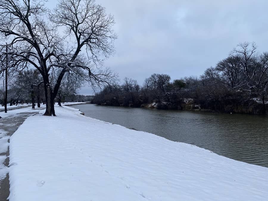
How much: It looks comparable to, or more than, the New Year’s Day snow. Models are indicating 3 to 6 inches of snow appears likely as far south as Brady and San Saba with the area between Abilene and Brownwood to see the higher amounts and a few spots likely more than 6 inches. The snow is forecast to spread eastward through Waco and even into the Piney Woods of East Texas.
Temperature: The temperature is forecast to range between 31 and 34 degrees all day long Sunday. After sunset Sunday evening, the temperature is forecast to range between 29 and 32 degrees through Sunday night into Monday morning, enough to freeze the snow or slush on roads for the Monday morning commute. The temperature should get back above freezing Monday morning, around 9 to 11 am but expect the high temperature Monday to stay in the mid to upper 30’s.
Planning: Travel will be discouraged Sunday, Sunday night into Monday morning. That may mean a trip to the grocery store today (Saturday) for comfort food to enjoy while it snows Sunday and some extra food and water for our animal friends. If you must travel, make sure you carry some food and water and extra blankets in your vehicle in case you get stranded.